
3D On-line Tour
Yangmingshan National Park Headquarters has created a special webpage with a 3D aerial guide to enable visitors to appreciate the beauty of Yangmingshan National Park from all different angles!
This website is based on Google Earth and is free to download and install. Maps are provided for the public to download which include features such as "Land Use Allocation in Yangmingshan National Park", a "1/5000 Scale Yangmingshan Topographical Map", "Place Names of Yangmingshan", and "Landscapes and Sights of Yangmingshan". The maps include locations of parking lots, visitor centers, and other pertinent information for visitors.
The director has announced plans to create three recreational routes from Yangde Boulevard to Jingshan via the Yangjin Highway, from MRT Xinbeitou station to Wanli or Sanzhi via Xishan. Visitors will be guided with a 3D virtual tour to explore the beauty of Yangmingshan. Whether you have previously visited Yangmingshan National Park or not, you can still utilize our website to start a brand new journey! We are sure you will enjoy this whole new experience.
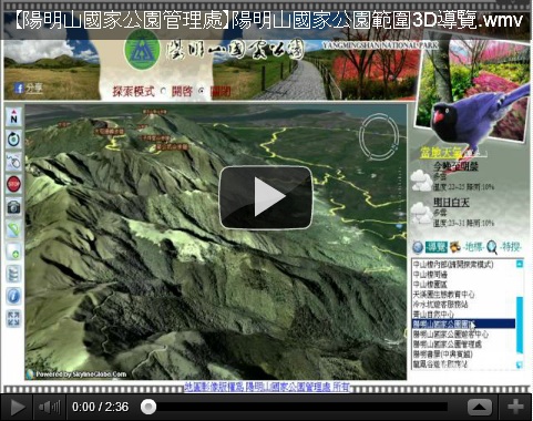
3D On-line Tour_1.wmv
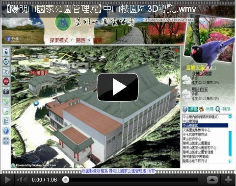
3D On-line Tour_2.wmv
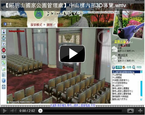
3D On-line Tour_3.wmv
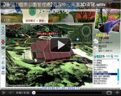
3D On-line Tour_4.wmv