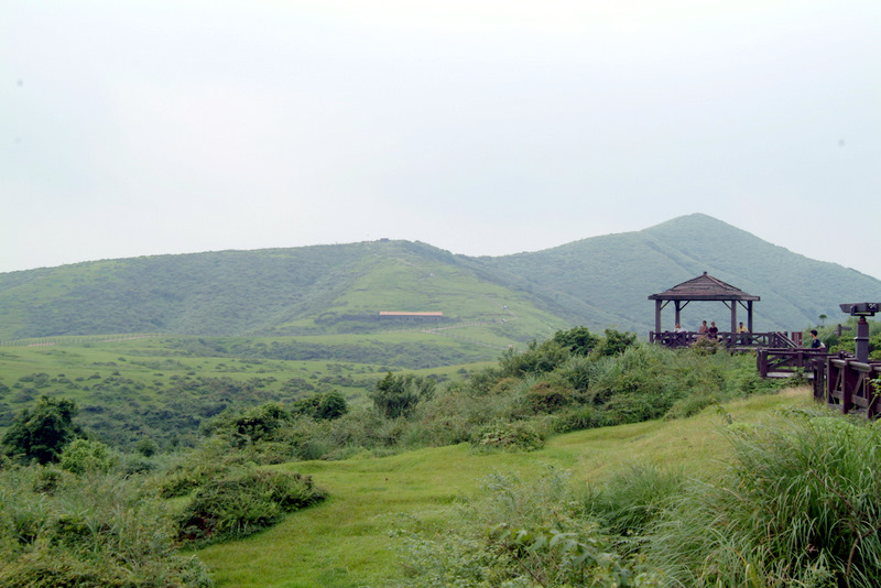
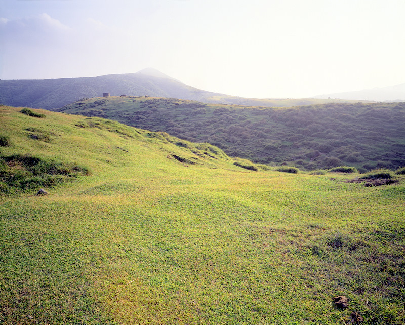
Qingtiangang
Jinshan Coast
Qingtiangang

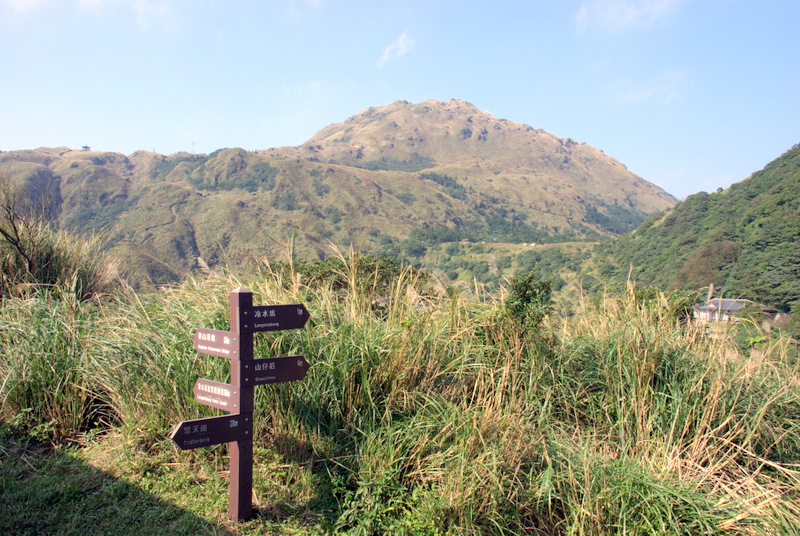
Qingtiangang Sign post
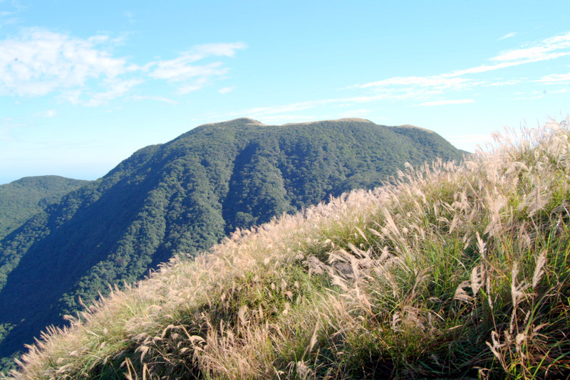
Silver-grass flowers
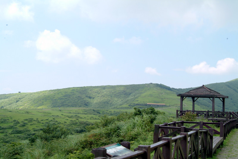
Qingtiangang facilities
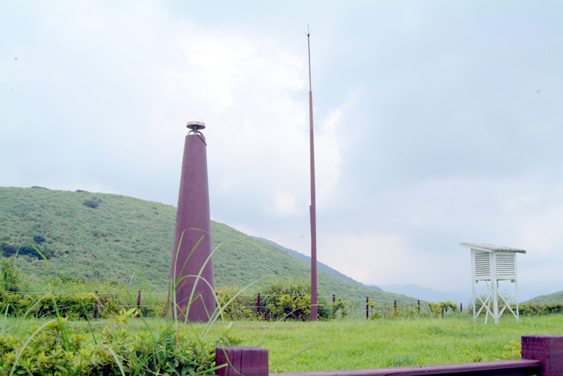
Satellite tracking station
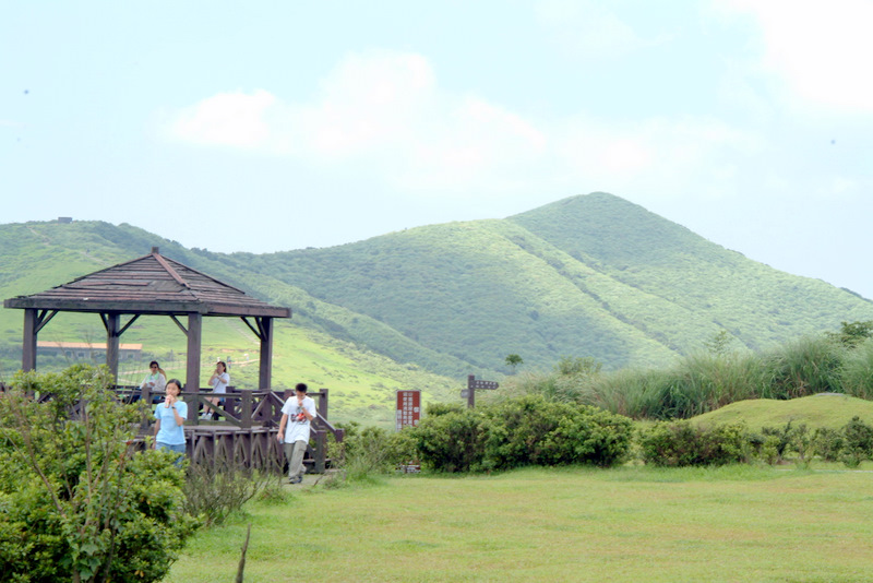
Mt. Zhugao

Buffalo
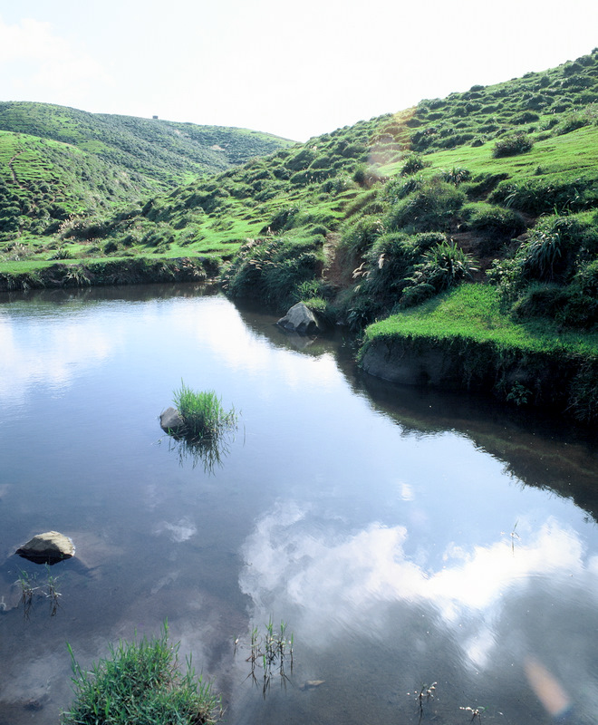
Qingtiangang Pond
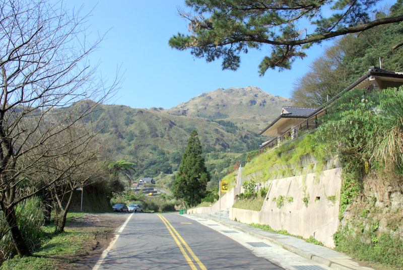
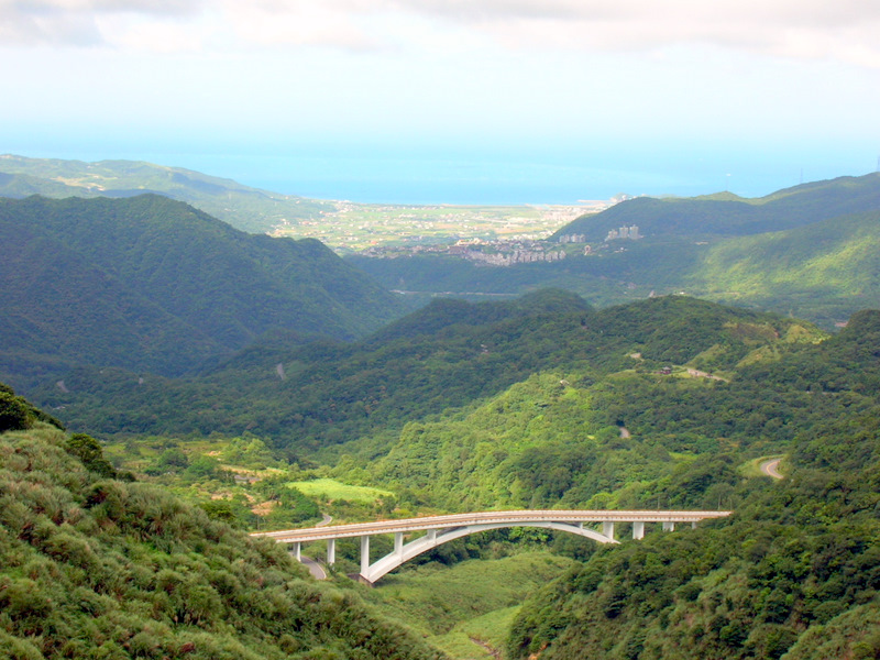
The road to Qingtiangang(by Chih-Wu Han)
Overlooking Mt. Qixing (by Chih-Wu Han)